
Regional guide
Hiking and mountaineering
Walks, gorges and alpine routes around Ramsau and the Dachstein, with maps and practical planning advice.
 9.5/10
At a glance
Ramsau makes it easy to build up gradually: start on the sunny plateau, continue through gorges and alpine pastures, and save high-alpine outings for stable weather.
- Over 1,500 km of marked trails
- 430 tours in the official catalogue
- Maps, elevation profiles and GPX
- Family walks to alpine routes
Where to begin
Plateau walks and the Rittisberg themed trails suit an easy day. Silberkarklamm adds a gorge and steps, while hut walks offer more ascent before committing to high-alpine terrain.
Choosing a route
Compare elevation, exposure, duration and the last transport, not distance alone. The official catalogue filters family walks and mountain tours and provides maps, profiles and GPX files.
Mountain safety
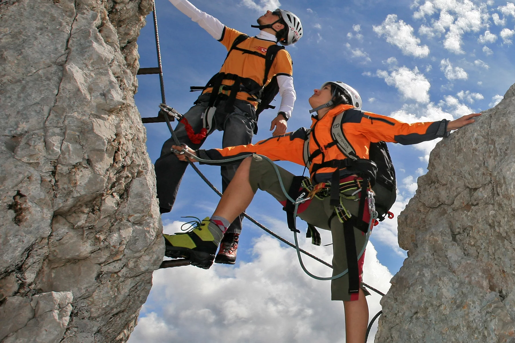
Valley weather does not describe glacier conditions. Carry wind and rain layers, water and a charged phone, and turn back when visibility deteriorates. Use a local guide for demanding Dachstein routes.
Plan your route
Open the hiking map
Interactive map, filters, elevation profiles and GPX.
Route data and operating hours change; verify the official source before setting out.
Check current conditions ↗Useful links
Hiking and mountaineering
Try next
Ready for Ramsau?